Title of tutorial
1. Background
Backgroud goes here. Can include subsections (e.g. 1.1, 1.2, etc)
1.1 Background subsection
Background subsection….
2. Learning objectives
In this tutorial you will learn how to: (or something like this):
Objective 1
Objective 2
2.1 Pre-requisites
Basic to intermediate understanding of remote sensing concepts
You may refer to NASA ARSET’s Fundamentals of Remote Sensing training. This includes basics of satellite remote sensing, including satellite orbits, types, resolutions, sensors, and processing levels. It is on demand and anyone can take it (available only in English).
A Google Earth Engine account
Anyone can sign up for Google Earth Engine. GEE is free for non-commercial use. To sign up, please fill out this form. Once you have been accepted, you will receive an email with additional information
Google Earth Engine works best with Google Chrome browser.
3. Tutorial: Name of tutorial here
Text here if needed
3.1 Subsection 1
(example ordered list) Follow these instructions:
Do this.
Do that.
sublist item.
subsub list item
subsub list item
Indented note
sublist item
sublist item
sublist item
Warning
Warning text
Do also this
text
text
text
text
text
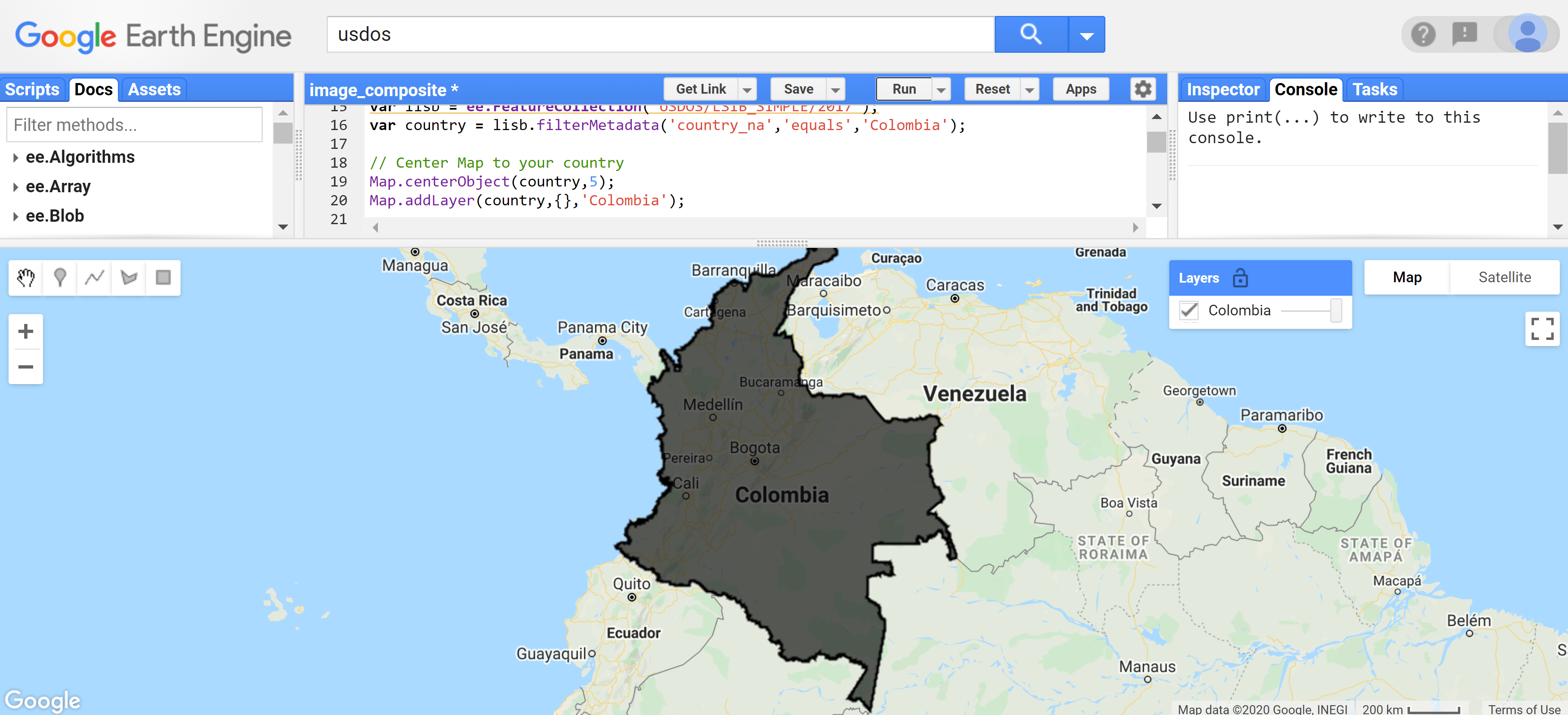
(example figure. adjust width if desired by adding :width: (width size; number) below :align:)
More text
(also supports gifs)
(and videos)
5. References
Kennedy, R.E., Ohmann, J., Gregory, M., Roberts, H., Yang, Z., Bell, D.M., Kane, V., Hughes, M.J., Cohen, W.B., Powell, S. and Neeti, N., 2018. An empirical, integrated forest biomass monitoring system. Environmental Research Letters, 13 (2), p.025004. https://doi.org/10.1088/1748-9326/aa9d9e

This work is licensed under a Creative Commons Attribution 3.0 IGO
(Last name), (First letter of first name). (Year). Title of training. Spatial Informatics Group.